

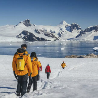


Antarctica Without Ice: Is There Land Under Antarctica?

Some 98 percent of Antarctica is cloaked in ice. Here lie the largest and thickest ice sheets on Earth, representing 90 percent of the planet’s ice volume binding up some 70 percent of its freshwater.
Such an epic ice mantle, which approaches three miles (4.8 kilometers) thick in the most massive sections of the East Antarctic Ice Sheet, makes it understandably challenging to envision Antarctica without ice.
Yet there is an entire hidden topographic world of bedrock underneath the Antarctic ice: one of interest to scientists not only for insights into the White Continent’s geologic and geomorphic histories, but—critically—for how that subglacial terrain influences the flow of ice. And that has great bearing on how the Antarctic Ice Sheet might behave under our warming climate—and how melt down here at the bottom of the world could impact sea levels.
Antarctica’s Glacial History
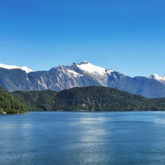
It’s hard to imagine today, but the huge landmass of Antarctica was once free of glacial ice and host (as Antarctic fossils testify) to temperate, even subtropical ecosystems supporting trees and other vegetation as well as a plethora of critters, dinosaurs among them. Some 600 million years ago, Antarctica joined with Australia, India, Madagascar, Africa, and South America in the mega-continent of Gondwana—which, from about 180 to 335 million years ago, was part of the even mightier supercontinent of Pangaea.
The breakup of Pangaea and then Gondwana itself eventually isolated Antarctica and sent it, via the restlessness of Earth’s tectonic plates, southbound toward the polar zone. That drift to the bottom of the world, coupled with global climate trends, began growing glacial ice on Antarctica tens of millions of years ago—first in the mountains, then in coalescing domes and tongues of ice that eventually, beginning perhaps 34 or 35 million years ago, merged into ice sheets.

Antarctica’s icy embrace, visible from space, holds an extraordinary glacial history, revealing cycles of ice formation and retreat that have profoundly shaped its hidden landmass and global climate for millions of years.
How Does Antarctica Look Without Ice? The Topography of Antarctica
Measurements of the thickness of Antarctic ice, radio-echo soundings, scrutiny of icy surface features, and other efforts paint a still-incomplete picture of the Antarctica landmass underneath the glacial cover.
Today, its ice-sheet mantle gives Antarctica the highest average elevation (about 7,200 feet/2,200 meters) of any continent on Earth. And much of its surface manifests as enormous tracts of relatively level, relatively featureless ice, not least atop the high, frigid Polar Plateau dominating East Antarctica’s geography. Yet the bedrock of much of West Antarctica as well as certain subglacial basins, troughs, and coastal margins of East Antarctica actually lies below sea level. And there are mountain ranges of the stature of the European Alps or North American Rockies—the Gamburtsev Mountains of East Antarctica, for example—which are completely buried by ice.
A more variegated, high-relief, and sea-penetrated landscape—with an average elevation thousands of feet lower than today’s—would therefore be revealed if Antarctica were stripped of its ice. East Antarctica, sometimes known as Greater Antarctica, would present as a smaller continent of plains, hills, mountains, and canyons. One of those canyons, underlying the Denman Glacier, has been measured at a depth of 11,500 feet (3.5 kilometers) below sea level: the deepest-set terrestrial/continental canyon known on Earth.
West (or Lesser) Antarctica, meanwhile, would appear as an archipelago of mountainous islands, including the north-pointing spine of the Antarctic Peninsula.
Unveiling Antarctica’s hidden topography, this map reveals the continent’s true landmass beneath its ice, a fascinating testament to the vast, complex landscapes concealed for millennia.
Source: A. Monaghan, Byrd Polar Research Center, CC BY 4.0 <https://creativecommons.org/licenses/by/4.0>, via Wikimedia Commons
Map of Antarctica Without Ice & Significance in Climate-Change Modeling
Ambitious and state-of-the-art science has shed greater light on the ice-buried topography of Antarctica in recent decades. Incorporating vast amounts of aerial and satellite measurements, the Bedmap and Bedmap2 projects led by the British Antarctic Survey have produced an increasingly refined Antarctica map without ice. In October 2023, researchers revealed a picture of a prehistoric drainage network of river valleys beneath East Antarctica: a landscape bigger than Belgium that’s been buried out of sight by glacial ice for tens of millions of years.
Significant limitations remain, however, in terms of our understanding of Antarctica’s bedrock terrain. Radio-echo soundings taken by aerial flyovers still leave large areas of the Antarctic Ice Sheet unmapped, with the deep, ice-choked subglacial canyons and troughs (such as Denman Canyon) particularly challenging to accurately measure.
A recent project, Bedmachine Antarctica, which released preliminary results in 2019, has helped to fill in the mysterious data gaps concerning Antarctic terrain. Of special interest to the Bedmachine Antarctica effort were those subglacial troughs under the ice sheets, as they’re thought to be instrumental in controlling the direction and rates of ice flow out of the White Continent’s interior to the coasts. Warming temperatures under our current state of climate change are already impacting Antarctic ice mass, and understanding how collapsing ice shelves and retreating outflow glaciers might affect the extent and speed of flow off the Antarctic Ice Sheet are of critical importance to modeling potential sea-level rise and other future impacts.
The Bedmachine Antarctica identified some glaciers whose underlying trough topography likely makes them more stable in the face of climate change. For example, significant ridges along the beds of glaciers cutting the Transantarctic Mountains and draining to the Ross Sea will probably mitigate some against glacial retreat and thus temper ice-sheet mass loss through those routes. In contrast, the project identified glaciers with retrograde beds—that is, glacial beds that slope downwards inland away from the Antarctic coast—which make them likely much more unstable, with the potential for tipping-point-style runaway retreat.
Such vulnerable, unstable glaciers with retrograde beds include the notorious Thwaites Glacier (aka the “Doomsday Glacier”), which provides a central drainage of the West Antarctic Ice Sheet to the Amundsen Sea, and certain East Antarctic glaciers of Wilkes Land (including the aforementioned Denman Glacier) and the Adélie Coast, among others.
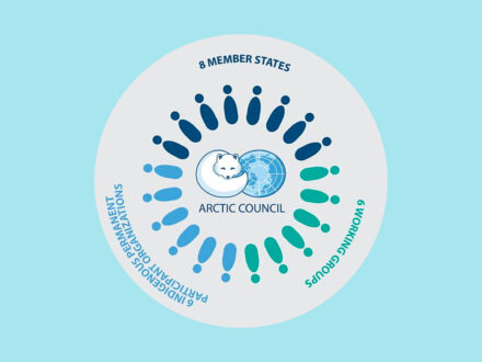
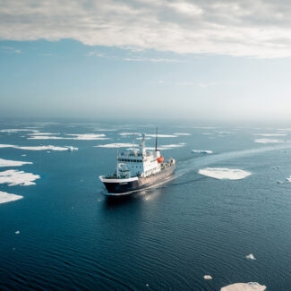
Who Owns the Arctic? The Arctic States & Role of the Arctic Council

Arctic vs Antarctic Cruise: The Polar Conundrum & Comparison
Why Antarctica Is Far Colder Than the Arctic

Cape Horn: Conquering the “End of the Earth”

The Strait of Magellan: Gateway to Patagonia’s Legends
The Beagle Channel: Where Evolution Began and Borders Meet
The 10 Best Places To Visit In Chilean Patagonia
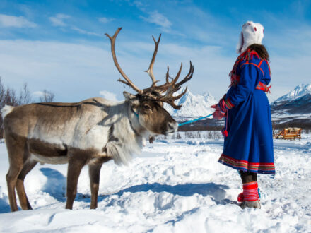
Living North: The Indigenous Peoples of the Arctic
Arctic Climate & Weather: How Cold Is The Arctic Really?
Disclaimer
Our travel guides are for informational purposes only. While we aim to provide accurate and up-to-date information, Antarctica Cruises makes no representations as to the accuracy or completeness of any information in our guides or found by following any link on this site.
Antarctica Cruises cannot and will not accept responsibility for any omissions or inaccuracies, or for any consequences arising therefrom, including any losses, injuries, or damages resulting from the display or use of this information.