

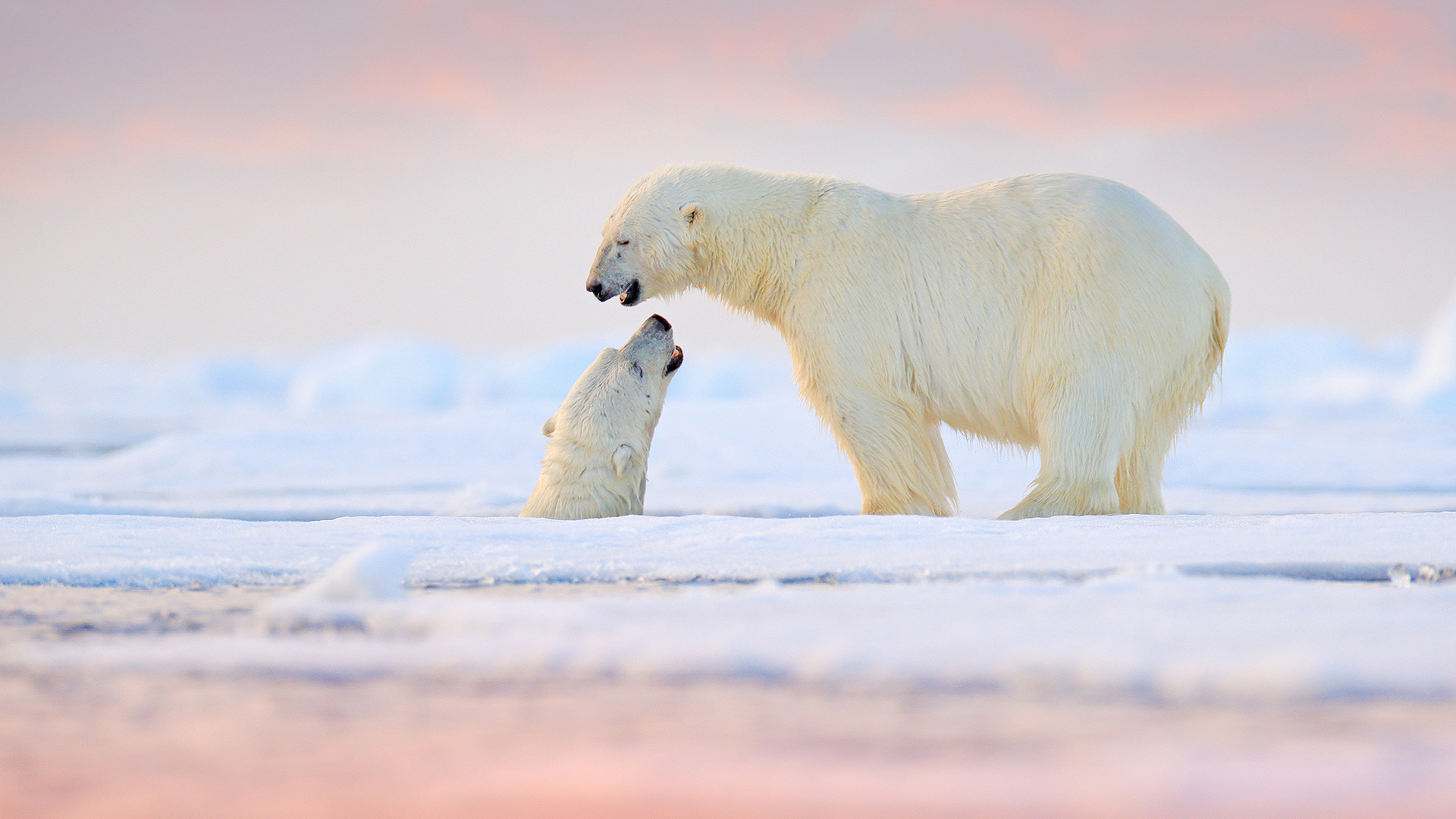


What & Where Is The Northwest Passage? Definition & Location

Among the most fabled portals in global navigation, the Northwest Passage of the Arctic also remains very much at the forefront of commercial maritime schemings—on account of our planet’s warming climate.
Northwest Passage Definition: What is the Northwest Passage?
The Northwest Passage describes the convoluted Arctic Ocean route between the Atlantic and Pacific oceans threaded through the Canadian High Arctic and its remote, ice-cluttered Arctic Archipelago.
(There is, by the way, a Eurasian counterpart to the North American Northwest Passage: the Northeast Passage, which connects the Pacific and the Atlantic via the Arctic Ocean seacoasts of Russia and Norway.)
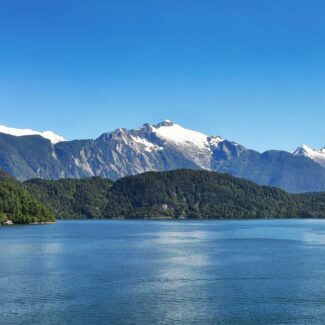
If we exclude mostly ice-sheeted Greenland, the Canadian Arctic Archipelago constitutes the most extensive landmass north of the Arctic Circle: a jigsaw puzzle of islands separated by deepwater channels, straits, and gulfs. Some of these islands—which encompass everything from low-lying flats to spectacular glacially sculpted mountains and fjords—rank among the biggest on Earth, including Baffin Island, Canada’s largest, which, at 507,451 square kilometers (195,928 square miles), outsizes the United Kingdom.

What exactly is the Northwest Passage? This historical chart illustrates the intricate labyrinth of sea routes through the Arctic Archipelago, a legendary shortcut connecting the Atlantic and Pacific Oceans.
Northwest Passage Location: Where Does the Northwest Passage Start & End?
Considered from east to west, the Northwest Passage route proceeds from Baffin Bay, which separates Greenland (the world’s largest island) from Baffin Island, into Lancaster Sound, the ultimate eastern portal of the Passage. It then traverses the Arctic Archipelago via several possible sea roads to the Beaufort Sea and the northern coast of Alaska: an exit ramp to the Bering Strait separating Alaska from Siberia. The exact mileage of the Passage depends on what course one takes (or tries to take), but roughly speaking it’s about 1,448 kilometers (900 miles) between Baffin Bay and the Beaufort Sea.
(Note there are some who consider the Northwest Passage as starting farther east than Baffin Bay in the Davis Strait, or even farther in the Labrador Sea, but the consensus among geographers and seafarers is that Baffin Bay is the official starting point.)
The main route variation in the heart of this epic Arctic sea lane—what has been called “the crux of the Northwest Passage”—is, basically, whether to go north or south of 217,2911-square-kilometer (83,897-square-mile) Victoria Island, the second-biggest island in the Arctic Archipelago (and Canada in general). The northerly route proceeds via sections of the great Parry Channel, which cleaves through the High Arctic islands from Lancaster Sound in the east to the M’Clure Strait in the west. The southerly route rounds the southeastern corner of Victoria Island, through one strait or another, and runs westward along the northern coastline of the Canadian mainland through Queen Maud Gulf, Dease Strait, Coronation Gulf, Dolphin and Union Strait, and Amundsen Gulf, which opens to the Beaufort Sea.
If we’ve made these Northwest Passage routes sound easy and straightforward, rest assured they are not—indeed, they’re often not feasible routes at all, or at least haven’t been for much of recorded history, due to extensive Arctic Ocean sea ice clogging up the channels, straits, and bays. It is the convolution of the landmasses and waterways involved, the fierce Arctic weather, and, most of all, that historically ice-choked nature of the Northwest Passage that made it among the most treacherous and confounding of the world’s sea lanes to suss out.

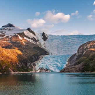
Imagine the rugged beauty of Baffin Island, a key part of the Northwest Passage! This long exposure captures the dramatic terrain and waterways that define this historic and challenging route.
What is the Northwest Passage in History?
The idea of a Northwest Passage tantalized geographers, merchants, and maritime powers for many centuries. European “discovery” and exploration of North America proved there was no quick commute between Europe and East Asia, and the later squelched hopes of a water route across the interior only heightened interest in an Arctic corridor, which began to be investigated through arduous, sometimes outright deadly, voyages in the late 15th century.
The search for the Northwest Passage is full of adventure, heroics, tragedies, and folly, and we’ve got an entire article dedicated to the subject. We’ll only note here that the Norwegian polar explorer Roald Amundsen gets the credit for the first successful ship traverse of the Passage, a three-year feat that wrapped with the Gjøa’s triumphant arrival in Nome, Alaska in 1906—more than 300 years after the Italian John Cabot, in the employ of the King of England, made the first full-on go at the route.
Journey back in time with this historical map! It illustrates the early understanding of the Arctic and the relentless efforts of explorers to chart the elusive Northwest Passage, a quest filled with both triumph and tragedy.
The Northwest Passage Today: Contested Ownership & the Effects of Climate Change
The trend of retreating and declining Arctic Ocean sea ice that has been seen in recent decades, and which the vast bulk of scientific opinion attributes to anthropogenic climate change, has put the Northwest Passage back at the center of international interest—and on the bucket list of many an adventurous cruise-goer.
When expedition after expedition was attempting to find a way through the Canadian High Arctic islands in the 1800s, Arctic sea ice only marginally retreated during late summer to give even a glimmer of hope through-passage for intrepid vessels. Edward Parry and his British naval ships found Viscount Melville Sound—the broadest waterway within the Arctic Archipelago, part of what became known as Parry Channel—made impassable by ice in August of 1819. Even after Amundsen’s voyage, the Northwest Passage remained a very tricky proposition indeed, and the domain only of icebreakers and other ice-fortified vessels.
But in our era, the sea ice is showing reduced thickness and extent, and the open-water window in the Northwest Passage appears to be increasing. Some have postulated that summer sea ice may disappear entirely from the Passage as early as the 2030s.
The recent sea-ice patterns have revived the idea of sending commercial ship traffic through the Northwest Passage, thereby shaving some 7,000 kilometers (4,350 miles)—and weeks of travel—off the current standard route between the Atlantic and the Pacific through the Panama Canal. Needless to say, the effects of such a development on commerce, trade relations, and geopolitics—including for nations (not least Panama) thousands of miles away from the Canadian High Arctic—would be far-reaching.
The Nordic Orion, a Danish bulk carrier, became the first large standard cargo vessel to traverse the Northwest Passage in 2013, hauling coal from Vancouver, British Columbia to Finland with an icebreaker escort courtesy of the Canadian Coast Guard.
The commercial and geopolitical possibilities of the Northwest Passage run up against questions of ownership. Canada considers most of this sea lane under its sovereignty, while a number of other countries—among them the United States, whose territory touches on the western reaches of the Passage and which has, controversially, run ships along the route without explicit Canadian permission—contend it constitutes international waters. Needless to say, this issue is likely to only intensify in the coming years.
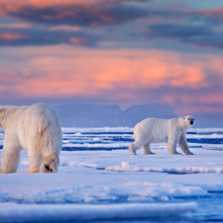
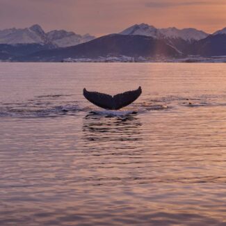
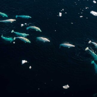
Even as the near-future economic possibilities of the Northwest Passage excite various nations, corporations, and shipping companies, scientists and environmentalists sound the alarm about the possible ecological and geophysical ramifications of sea-ice loss here. Evidence suggests it might release greater amounts of freshwater through the Arctic Archipelago into the Labrador Sea, affecting ocean chemistry and nutrients and possibly disrupting the Atlantic Ocean circulation that drives the Gulf Stream. Since 2010, gray whales have also periodically showed up in the Atlantic, where the species has been extinct for centuries; though it’s a cheering sign to see this baleen whale back in that native ocean basin, it may be further evidence of the distressing sea-ice retreat in the Arctic Archipelago, as researchers believe these marine mammals—not a High Arctic animal, generally—are reaching the Atlantic from the Pacific via the Northwest Passage.
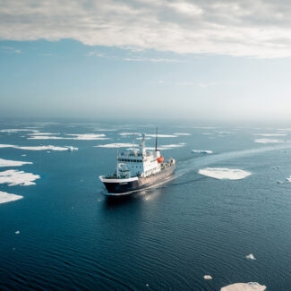
Witness the modern reality of the Northwest Passage! As climate change alters the Arctic, icebreakers like these are increasingly navigating these once-frozen waters, raising complex questions of sovereignty and environmental impact.
Experience the Northwest Passage on an Arctic Cruise
The first cruise ship forayed through the Northwest Passage in 1984, and today sightseeing voyages in this scenic, culturally rich, and historically fascinating seaway are a popular choice for Arctic tourism. Come fall under the spell of the Canadian High Arctic and one of the most legendary navigation routes in history!

Arctic vs Antarctic Cruise: The Polar Conundrum & Comparison
Why Antarctica Is Far Colder Than the Arctic

Cape Horn: Conquering the “End of the Earth”

The Strait of Magellan: Gateway to Patagonia’s Legends
The Beagle Channel: Where Evolution Began and Borders Meet
The 10 Best Places To Visit In Chilean Patagonia
Living North: The Indigenous Peoples of the Arctic
Arctic Climate & Weather: How Cold Is The Arctic Really?
Where Is The South Pole? Antarctica. But There’s 7 Of Them!
Disclaimer
Our travel guides are for informational purposes only. While we aim to provide accurate and up-to-date information, Antarctica Cruises makes no representations as to the accuracy or completeness of any information in our guides or found by following any link on this site.
Antarctica Cruises cannot and will not accept responsibility for any omissions or inaccuracies, or for any consequences arising therefrom, including any losses, injuries, or damages resulting from the display or use of this information.